Start with Hwy 182, then check the conditions in front of you.
The strongest Amity-side river access note is the Hwy 182 crossing north of town. It is listed by a local outfitter and documented in the Encyclopedia of Arkansas, but access only stays useful when people respect the river and the land around it.
Check signs, parking, weather, and water before you unload. Do not cross posted property, block the road, or treat a quiet riverbank like a public campground.
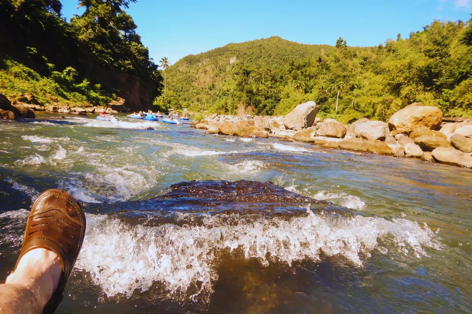
Hwy 182 Caddo River Access
State Highway 182 north of Amity, near the bridge over the Caddo River
Status
Public access reported; check signage and conditions before using.
Coordinates listed by outfitter: N 34° 17' 24.15" / W 093° 27' 31.48"
Best fit
Three things worth saying plainly.
Reported public access
Caddo River Camping & Canoe Rental lists an Amity access at State Highway 182 north of town, on river right just below the bridge. The Encyclopedia of Arkansas also has a 2023 Amity Access photo at the Highway 182 bridge.
Still check it in person
Online listings are useful, but they do not replace current signs, parking conditions, water levels, road work, or local rules. Scout the access before building a whole day around it.
Do not wander onto private land
The Amity side of the Caddo has private frontage nearby. Stay where access is legal, do not cross fences, and do not turn a quiet place into a problem for the people who live there.
After the access point, come into Amity.
The access point brings you close to town. Food, local businesses, events, and the square are the next stops that help Amity when you are already nearby.