The lower-Caddo side of the trip starts here.
Glenwood is still the main float hub. Amity is the quieter lower-Caddo stop just down the road, with a Hwy 182 access point to verify before you go and a town that could use more river traffic coming back through.
Start with access notes, fishing ideas, float planning, safety reminders, and nearby food stops before you build the day around the lower Caddo.
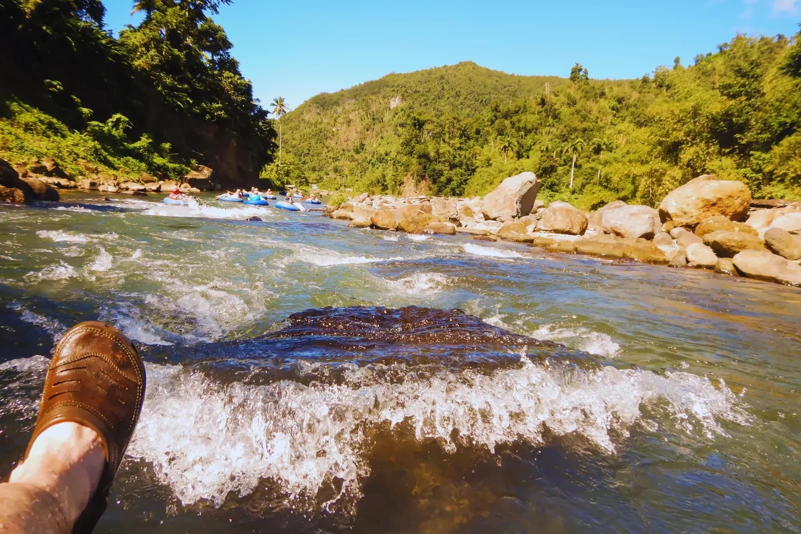
Access, fishing, float notes, and a simple day plan.
Most people do not need a big sales pitch. They need to know where to start, what is public, what is private, and where to go after the river.
Caddo River Access Near Amity
Start here for the Amity-side access notes, public/private land reminders, and the Hwy 182 river crossing.
Read more →Hwy 182 Caddo River Access
Details for the access point north of Amity, with reminders about parking, signs, water, and nearby private land.
Read more →Glenwood to Amity Float Guide
Helpful notes for the lower stretch from Glenwood toward Amity, especially when a shuttle or take-out needs to be planned ahead.
Read more →Fishing the Lower Caddo
Fishing notes for the Caddo River near Amity and the stretch above DeGray Lake.
Read more →Amity River Day Itinerary
A simple day plan that connects the river, food stops, the square, Glenwood, and nearby lake routes.
Read more →River Safety & Private Land
Keep this part of the Caddo useful by respecting water levels, parking, posted land, and common-sense river rules.
Read more →
Use what can be verified. Leave the rest alone.
The Caddo River has public access points, private frontage, changing water, and places that can be misunderstood fast. Check the signs on the ground and leave private land alone.
Hwy 182 north of Amity.
This is the Amity-side access point most worth building around, but it still needs the same common-sense checks: signage, parking, water level, weather, and landowner respect.
How to use the Amity side well.
The quieter side of the Caddo
Glenwood is still the main rental-and-shuttle hub. Amity is the quieter lower-Caddo side of the trip: slower roads, fishing, a reported public access point to check before you go, and a town close enough for food after the river.
Use confirmed access only
The Caddo runs through a mix of public access points and private riverfront. Do not treat every gravel bar or bridge pull-off as public. Watch signs, check current conditions, and leave nearby landowners with no reason to complain.
Tie the river back to town
A good river day should not skip the town beside it. Grab pizza, stop at Trudy's, check Slate Rock, look around the square, and leave a little money with the places still open.